Reading a Topographic Map
- If you plan to spend a lot of time traveling through unfamiliar terrain, a topographic map is a good investment.
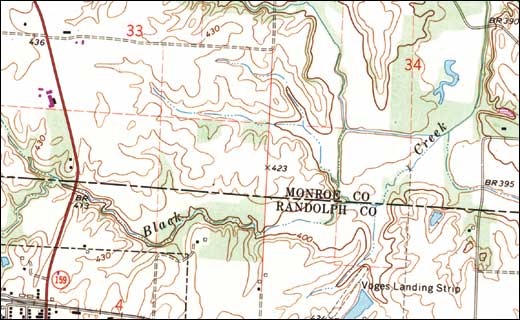
- Topographic maps are created from aerial photographs and reveal the contours of the land, including hills, ridges, and valleys, as well as lakes, rivers, creeks, trails, and roads.
- Contour lines show the elevation of the ground.
- Contour intervals reveal how much vertical distance there is between each contour line. Closely spaced contour lines indicate very steep slopes.
- Contour lines that are sharply tapered indicate an uphill direction.
- Rounded contour lines typically indicate a downhill direction.